
Utility Specialists of America

The Utility Specialist turns corridor capture into decision-ready utility data.

Survey-grade 360-degree imagery, RTK-positioned field evidence, AI-assisted review, and human-confirmed deliverables for joint-use, make-ready, disaster response, and asset inventory work.

360-degree corridor recordsEvery reviewed point ties back to imagery, position, and time.
RTK-first field workflowLocation quality is treated as core infrastructure data.
Utility-specific reviewBuilt around poles, attachments, transfers, and storm evidence.
Private processing layerCustomers get the deliverables, not the proprietary mechanics.
What Changed

From scattered photos to a defensible corridor record.

Traditional pole surveys move slowly because every pole becomes a field stop, every photo needs manual pairing, and every report needs re-keying before an engineer can use it. The Utility Specialist compresses that workflow into a capture, review, and deliverable system designed for utility work from the beginning.
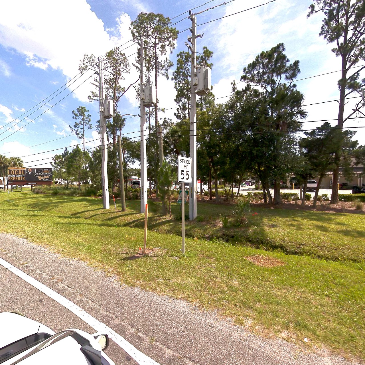
Field capture stays broad.Vehicle-mounted 360-degree imagery covers the corridor, with drone support available where the truck cannot reach.
Review stays focused.AI-assisted detection surfaces likely poles, attachments, streetlights, and issues for human confirmation.
Outputs stay practical.Reports, owner-split lists, before/after proof, CSV, KMZ, and loading-ready exchange files are packaged for the next team in line.
Corridor Deliverable SetReview ready
Joint-use auditAttachment inventory, evidence, and owner split.
Audit
Make-ready feasibilitySpace-window findings and engineering handoff data.
Plan
Compare and verifyGPS-matched before/after proof for close-out.
Verify
Storm assessmentLocated, dated evidence for damage response.
Respond
The Utility Specialist Corridor Review
Route Survey Pole Survey Compare Deliverables Storm
360-degree utility pole review frame
Pole candidate confirmedImagery, bearing, and location stay tied to the record.
The Utility Specialist

Software that matches how utility work actually moves.

Browse captured routes like street-view, inspect pole candidates, compare before and after passes, and build deliverables without losing the evidence trail. Proprietary stitching, detection, and review logic stays internal; the customer-facing value is accurate context, accountable review, and usable outputs.

Service Lines

One capture can support several utility outcomes.

The same corridor record can feed audits, make-ready planning, transfer verification, storm documentation, and inventory reconciliation.

Joint-use attachment audits

Identify attachment inventory gaps, unauthorized attachments, and pole-level evidence for revenue recovery conversations.

Learn more

Fiber make-ready feasibility

Surface route constraints, marginal poles, and loading-ready data before construction schedules harden.

Learn more

Compare and verify

Use position-matched before and after imagery to confirm transfers, removals, and storm cleanup.

Learn more
Evidence Trail

Every deliverable points back to what was seen in the field.

The Utility Specialist is built around reviewable evidence: imagery, position, time, project context, and the human decision made against each flagged item.

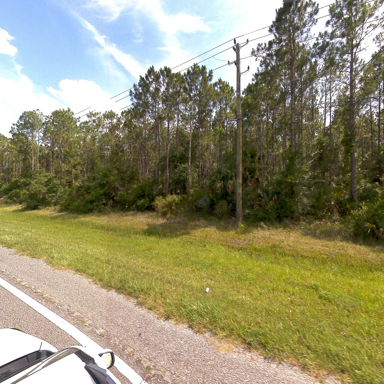
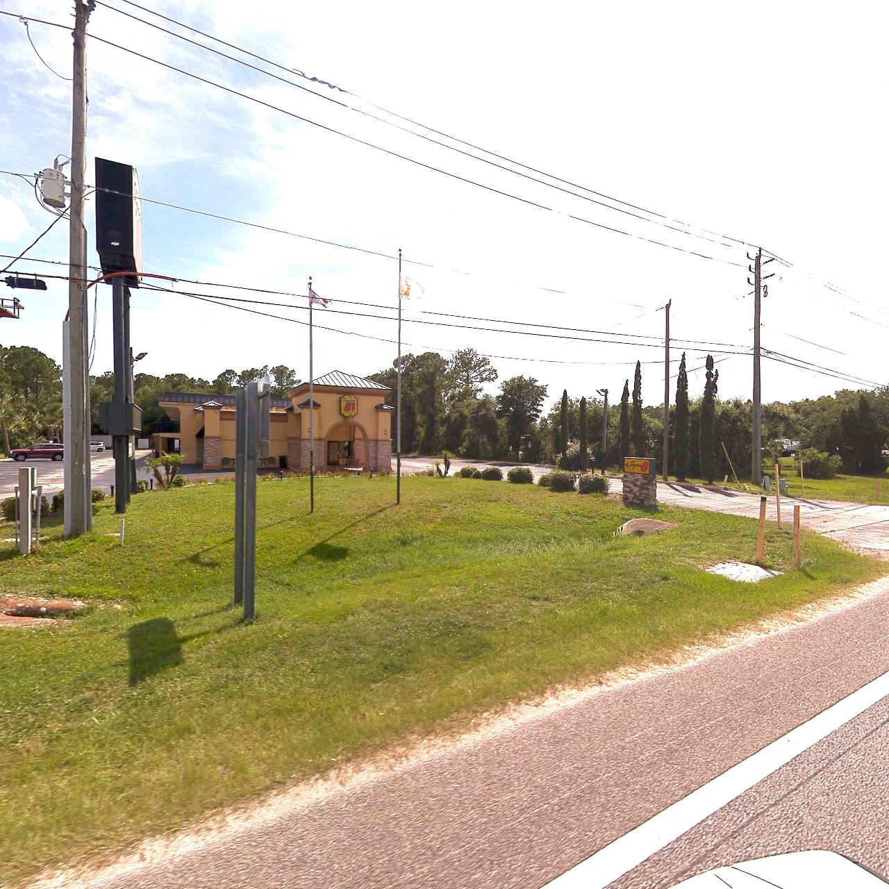
Utility poles captured in a corridor survey
Real corridor imagery for reviewField captures become navigable evidence, not loose photo folders.

Review the exception, not every inch twice.

AI-assisted candidate queues help reviewers focus on the items that matter. Final customer-facing outputs remain human-confirmed and packaged for operational use.
Ready to turn a corridor into a usable utility record?

Bring us a route, a punch list, a storm window, or a make-ready question. We will help shape the right capture and deliverable plan.

Plan a survey